Tree counting and species mapping
We use our machine learning algorithm to identify and locate individual trees on your aerial images taken by your drone (UAV). This data can be used to generate a map for forest inventory and wood volume and biomass estimation.
The project is in development.
How it works

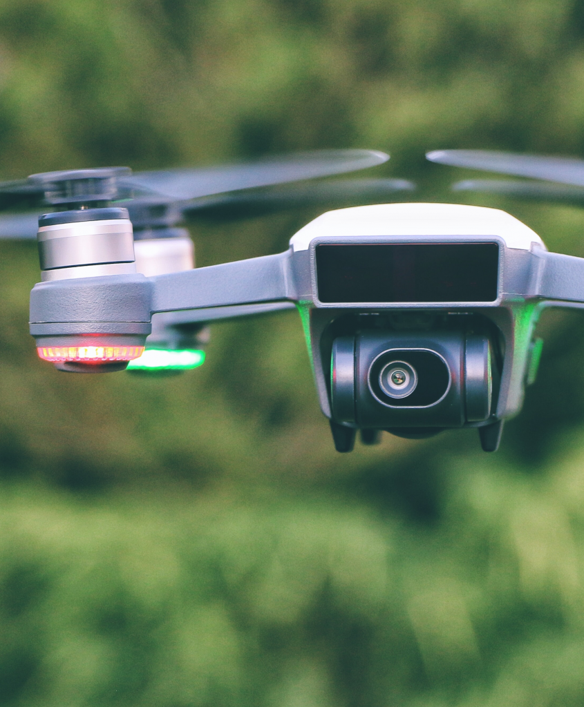
Take a photo with a drone
The size of the whole field is a few hectares. The resolution of the photo is around 1 cm per pixel.

Tree recognition
Our machine-learning algorithm locates all visible trees, and estimates the species, height and wood volume.

Identification results
We return areas in the CSV, JSON, GeoJSON, or other formats.